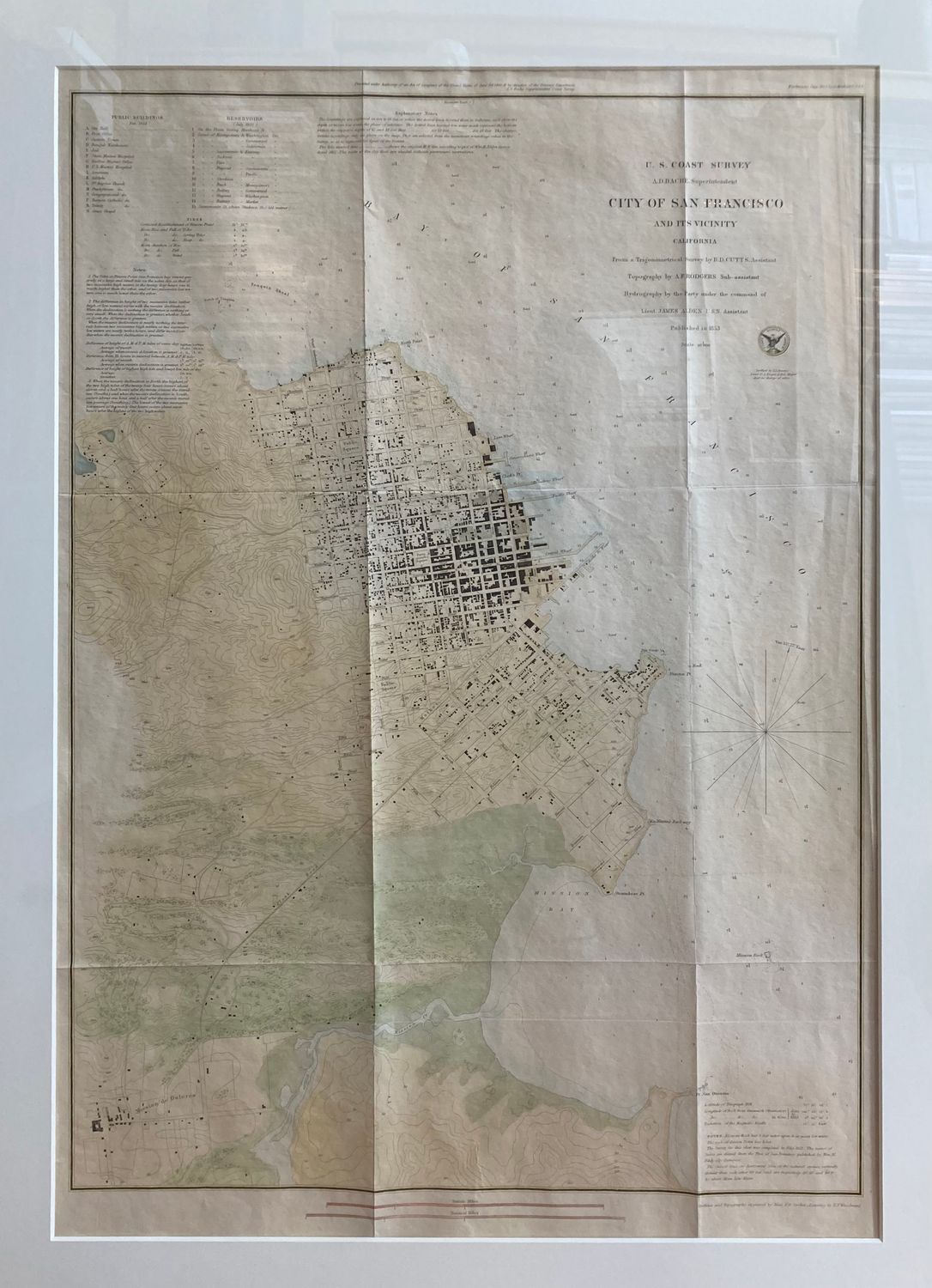
1853 USCS Map of San Francisco and its Vicinity w/ hand color
$1,450.00
In stock: 1 available
Product Details
20 x 26" lithographic map derived from a copper engraved master sheet. Hand water color added in support of the iconography of the map. Fine condition on this 1st edition of a congressional document produced by the United States Coast Survey for 1853, from surveys done on site in 1852 under AD Bache by Lt Alden. Includes each structure to scale, topographic and riparian details with 20'ft contour lines and flora iconography proving surface vegetation details. Legend provides buildings of importance, location of Reservoirs, being water cisterns for fire fighting through the Auxiliary Water System at intersections enumerated. Churches and hospitals , Mission Dolores , Mission bay and Rock. original shoreline and a myriad of pioneer details lost to development very soon afterwards so as to be considered baseline information for the details on this map. often referred to, rarely owned
This is an estate purchase and is currently framed in the conservation standard, a value add of $550-850 included for those wishing to pick up locally from Sonoma or San Francisco .
Not Shippable Framed !!
although as a master framer, i can unframed the map and ship it for the usual fee of $15.00 insured upon request.
Save this product for later
1853 USCS Map of San Francisco and its Vicinity w/ hand color
Display prices in:USD